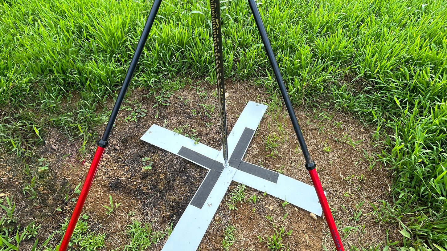
Archaeological Mapping of Ancient Terraces in Aimeliik, Palau
Produce a detailed terrain model of the terrace networks in Aimeliik, Palau

Client
Coral Reef Research Foundation (CRRF)
Project Type
Topographic Mapping
Location
Aimeliik, Palau
Project Overview
In a concerted effort to uncover and document the ancient agricultural terraces of Aimeliik, Palau, 2cofly embarked on a comprehensive LiDAR mapping expedition. Over a two-week period, our team successfully scanned more than 3,000 acres of dense tropical terrain, providing archaeologists and researchers with unprecedented insights into Palau's rich cultural heritage.
The Challenge
Palau's landscape is characterized by thick jungle canopies and rugged topography, which have long concealed its historical agricultural terraces. Traditional archaeological methods faced significant obstacles, including limited visibility and accessibility, making it challenging to map and study these ancient structures accurately.
Approach & Methodology
LiDAR-Based Aerial Survey
To penetrate the dense vegetation and capture precise topographical data, 2cofly utilized drone-mounted LiDAR sensors. This technology emitted laser pulses capable of reaching the ground surface, generating high-resolution 3D models of the terrain beneath the canopy.
Data Processing & Analysis
The collected LiDAR data was meticulously processed to create detailed Digital Elevation Models (DEMs). These models revealed the subtle contours and structures of the ancient terraces, enabling researchers to analyze their extent, construction, and historical significance.
Deliverables Provided
High-Resolution 3D Terrain Models – Accurate representations of the landscape, highlighting the terraces' layout and features.
Digital Elevation Models (DEMs) – Detailed elevation data supporting further archaeological analysis and preservation efforts.
Results & Project Impact
Unveiling Hidden Structures
The LiDAR survey successfully uncovered numerous previously undocumented terraces, providing valuable information about ancient agricultural practices and land use in Palau.
Enhancing Archaeological Research
The high-precision data equipped archaeologists with the tools necessary to conduct in-depth analyses, facilitating a deeper understanding of the region's historical development and cultural practices.
Preservation and Cultural Awareness
By mapping these ancient structures, the project contributed to the preservation of Palau's cultural heritage, raising awareness about the significance of these terraces and promoting their conservation for future generations.
Conclusion
This project exemplifies the transformative role of drone-based LiDAR technology in archaeological exploration. By overcoming natural obstacles and revealing hidden historical features, 2cofly has provided a foundation for ongoing research and preservation of Palau's ancient terraces.
For organizations and researchers seeking innovative solutions in archaeological mapping and heritage conservation, 2cofly offers cutting-edge drone services tailored to meet the unique challenges of uncovering and preserving our world's cultural treasures.

2cofly (pronounced Ecofly) is Micronesia's leading drone service and education provider. Our core competency lies in remote sensing via various sensing technologies such as photogrammetry, LiDAR, thermal and more.
Few key deliverables we can output with our drones & sensors:
Orthomosaic Mapping (+ Planimetric Mapping)
Topographic Mapping (via LiDAR & photogrammetry)
General LiDAR Mapping (land feasibility study, power line, etc)
Aerial Inspection
Aerial Magnetometry (underground metal detection)
Thermal Map (radiometric)
We are also the largest drone training and education provider, offering:
Online Course
In-person workshops
Custom curriculums for students and professionals
Schedule a free consultation
(671) 988-1532 | dwl@2cofly.com

_gold-black.png)


