_gold-black.png)
How accurate are drone maps?
- Dong Won Lee
- Feb 9, 2021
- 3 min read
Updated: Feb 25, 2021

Photogrammetry is the art and the science of making measurements from photos and has been around since the late 1800s/early 1900s. With the advancements in drone technology over the past decade, aerial photogrammetry has been growing at a rapid pace, and is now a high demand in various industries, including construction, engineering, energy and more.
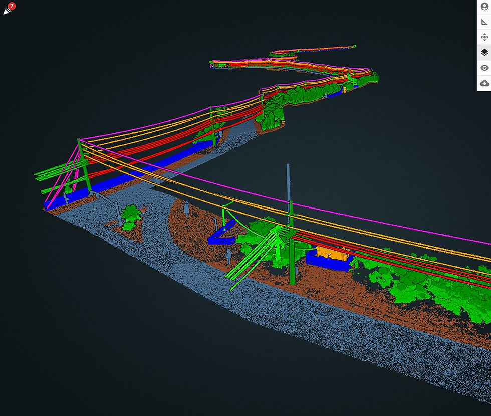
There are several outputs that can be produced from aerial mapping such as topographical maps (digital elevation models and contours), orthomosaics, 3D point clouds and 3D models. These outputs are all useful for many professionals including engineers, construction managers, site managers, project managers, surveyors, property developers, etc.
While there are many things we can talk about as far as drone mapping, today we will be sharing the accuracy of measurements from an orthomosaic map we produced. But before we share the results, we must understand what an orthomosaic is and how we created it.


To put it simply, an orthomosaic is a 2D representation of a site that is geometrically accurate. It provides the client the most up-to-date 2D visualization of their site rather than looking at a Google Earth map that may be a year or more old. Clients also have the capability to make linear measurements, overlay contours or other topographical data.
Orthophotos correct for three types of distortion:
The distortion of the earth (in terms of drone mapping, this isn't all that relevant as the area covered won't be large enough)
Elevation distortion
Camera angle
Orthophotos have two types of accuracy:
Absolute accuracy (accuracy in relation to the Earth, "lat, long, elevation")
Relative accuracy (accuracy of objects in relation to each other, also referred to as "local" accuracy)
The workflows of creating these maps differ as to what type of accuracy you are trying to achieve. To obtain absolute accuracy, you must place ground control points (GCPs) and calculate highly accurate location values (coordinates) for each GCP center point. A note to make is that achieving absolute accuracy will also yield relative accuracy.
How we created the map

We created the orthophoto with absolute accuracy in mind. If you refer back to the orthophoto and look closely, you can see 7 ground control points evenly placed throughout the site at varying elevations. Five of these targets were assigned as GCPs, where 2 of them were assigned as checkpoints.
We set up our RTK GPS base station over a known point, and used the RTK GPS rover to assign highly accurate coordinates on each GCP centers. After collecting overlapping aerial photos of the area with an autonomous flight software, we then took it to our post-processing software to georeference and process the outputs. We then made some linear measurements using a GIS software, here are our results:
The Results


We took a total of 6 measurements (labeled from M1 ~ M6) throughout the site with a highly precise laser measure to compare with the computed measurement values.

Highest accuracy: 0.001ft (0.03cm)
Lowest accuracy: 0.073 ft (2.22cm)
Average accuracy: 0.042 ft (1.28cm)
GCP accuracy: RMSE = 0.042 US survey foot
Download our Quality Report
How accurate are drone maps?
To answer our initial question, we'd say it depends. It depends on who's creating the map and how they created it. Accuracy will depend on the camera quality, their ground sampling distance as well as other variables that may affect the end result.
We can say with a high degree of confidence that the team at 2cofly can produce centimeter-grade orthophotos as well as other drone mapping deliverables.
To inquire about how drones can bring efficiencies to your business, please contact us for a free consultation.

www.2cofly.com


Comments